


Pemba from above, part 3
This is the third installment of my aerial photographs of Pemba island which lies north of the Zanzibari archipelago. It is considered the “green appendage” of Zanzibar, known for its lush forests of cloves, coconuts and mangoes.
surreal seascape in Northwest Pemba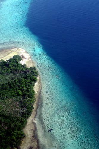
an isolated beach in Ngagu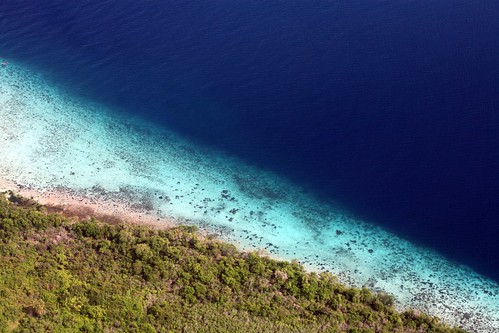
Ngagu is still devoid of mass tourism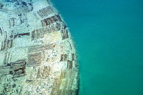
the reef between Mjini Kiuyu and Kiwani
Pemba’s development has long been associated with the dhow, the traditional wooden sail boats that were the connection between Africa and the Arabian peninsula. Utterly dependent on strong tradewinds, dhows brought cloves to mainland Aisa and in return, sent back cargoes such as wood and silver. Even today, dhows continue to connect Pemba and the rest of its East African neighbors like Kenya and Mozambique.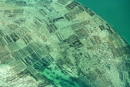
aerial of the farms of Mjini Kiuyu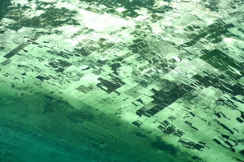
Maziwa Ngombe shelters thick plantations of seaweed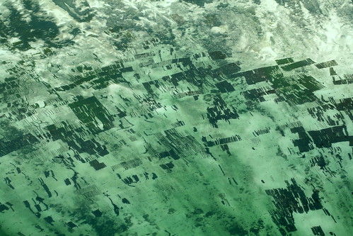
another view of the seaweed farms in Maziwa Ngombe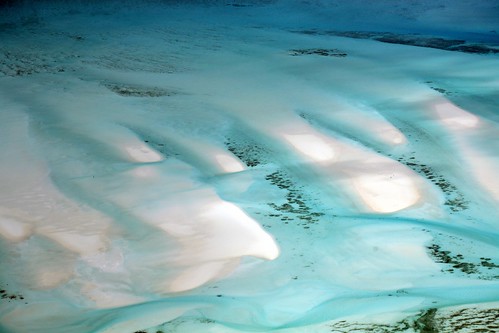
breathtaking shifting dunes in the South Channel, Pemba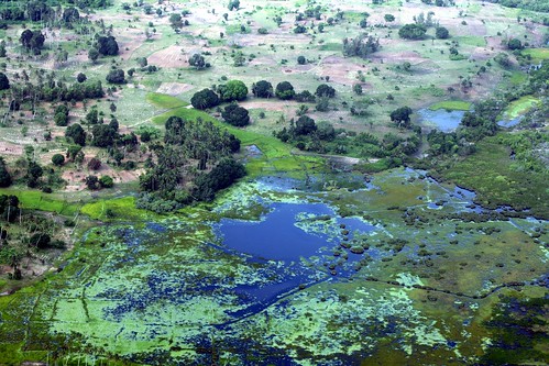
a eutrophic tributary at West Pemba near Fondu island
To go: Pemba is a large island north of Zanzibar, a semi-autonomous archipelago that is part of Tanzania, East Africa. There are regular fast crafts and flights between Zanzibar and Pemba. Air charters can be arranged from various operators like the one we made with Tropical Air at +255 24 223 2511.
the Pemba aerial series:
(part 1 in colloidfarl.blogspot.com
part 2 in colloidfarl.blogspot.com
part 3 in colloidfarl.blogspot.com

No comments:
Post a Comment